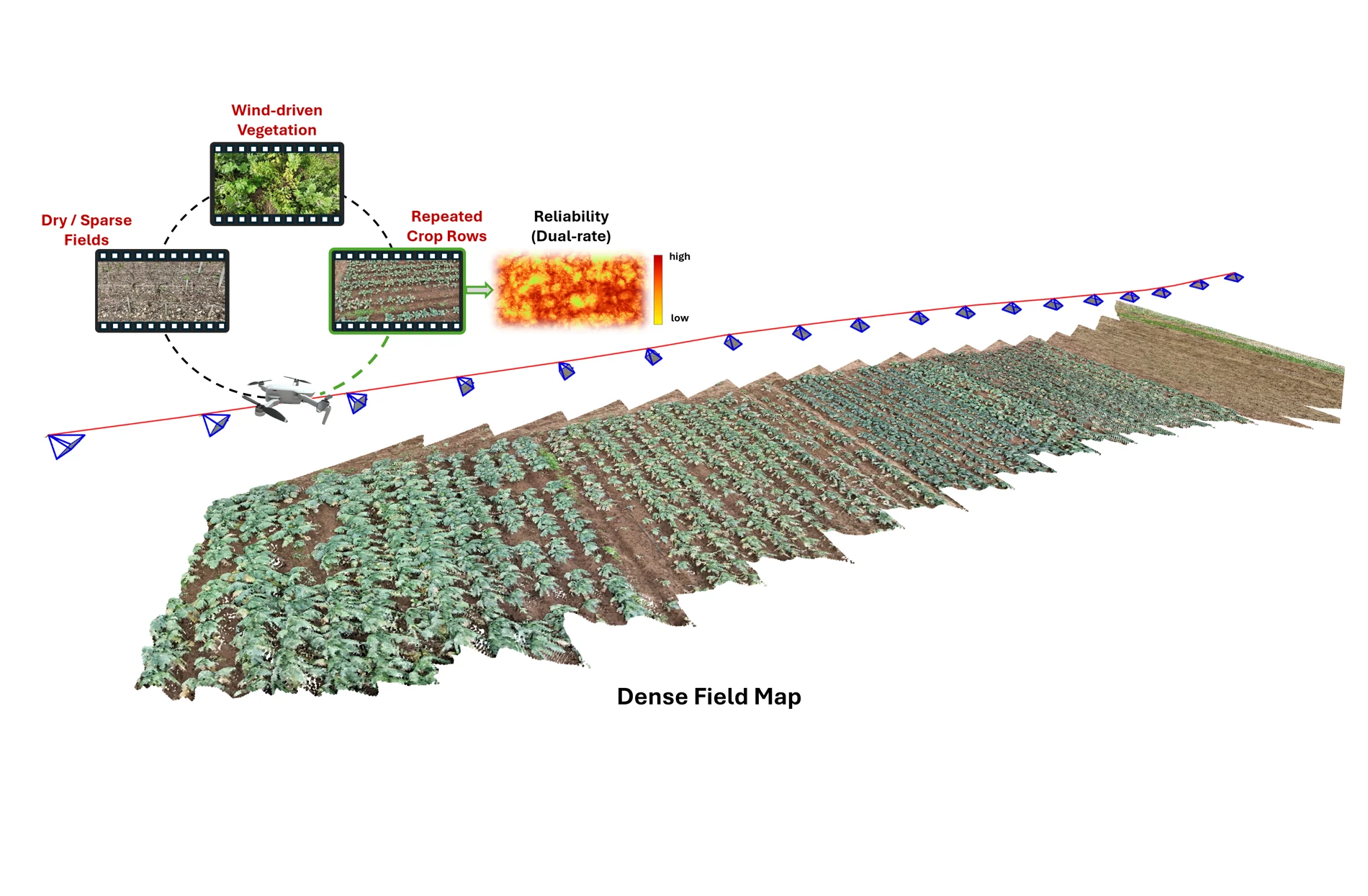
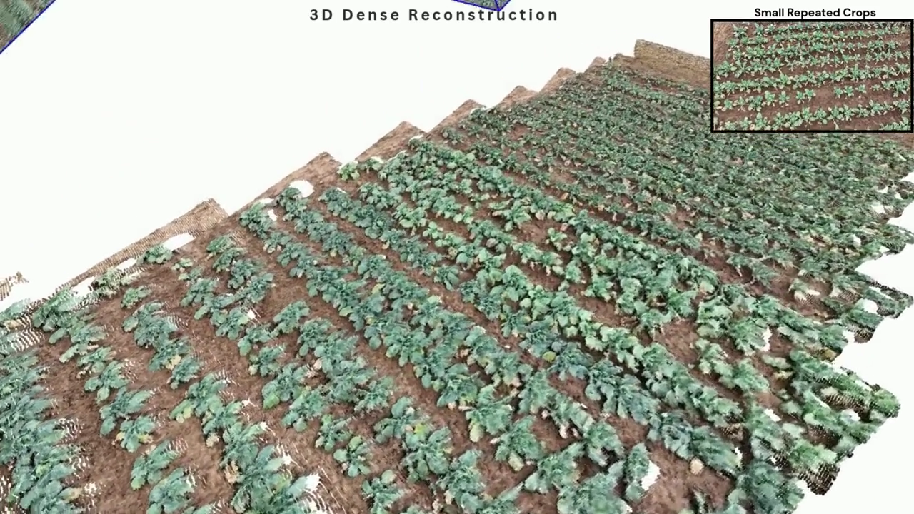
Repetitive crops · Dry vineyard · Wind-driven vegetation

AgroMap3D: Reliability-Aware Dense Mapping from Agricultural UAV Video
AgroMap3D dataset · synthetic-cue evaluation
Dense 3D mapping from agricultural UAV video is difficult due to repetitive crop structure, weak texture, thin vegetation, and wind-driven motion, which can make visual constraints ambiguous or temporally inconsistent. We present AgroMap3D, a reliability-aware framework that uses feed-forward 3D geometry as a local provider and reconciles relative constraints through pose-graph optimization. A dual-rate reliability mechanism evaluates stability on keyframe pairs and a denser temporal stream, down-weighting unreliable pose constraints while retaining vegetation geometry. When available, an uncertain global pose cue provides metric and field-scale context, and the refined poses assemble the local geometry into a dense map. We evaluate on our AgroMap3D dataset, comprising 22 agricultural UAV sequences, and on the public GrapeSLAM dataset using synthetically degraded global pose cues derived from trajectory references. Ablations on the AgroMap3D dataset show that local geometry reduces mean aligned trajectory error relative to the degraded cue, while reliability weighting further reduces mean absolute trajectory error relative to provider confidence alone. Qualitative reconstructions illustrate the effect of pose refinement on dense-map assembly.
Repetitive crops · Dry vineyard · Wind-driven vegetation
AgroMap3D dataset · Synthetic pose cue · Per-sequence Sim(3) alignment · Lower is better
 AGROMAP3D DATASET
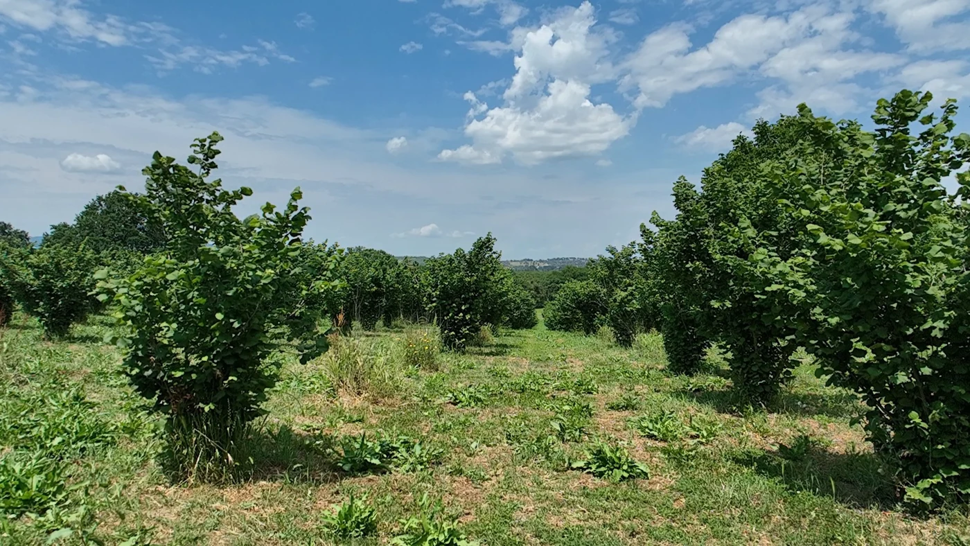
22 monocular RGB UAV sequences recorded with DJI Mavic 3 and DJI Mini platforms, paired with trajectory references extracted from onboard flight logs using AirData.
88,784 source frames at 30 fps, with selected evaluation windows totaling 42.02 minutes. The collection spans repetitive crops, dry and sparse vegetation, range changes, long flights, turn-backs, revisits, and orbital motion.
Mavic 3 references use RTK-based positioning; Mini references use non-RTK positioning.
Dataset release Coming soon
@inproceedings{ahmad2027agromap3d,
  title     = {AgroMap3D: Reliability-Aware Dense
               Mapping from Agricultural UAV Video},
  author    = {Ahmad, Javed and Ahmad, Shafiq and
               Amiri, Dario and Pirri, Fiora},
  booktitle = {Proceedings of the IEEE/CVF Winter
               Conference on Applications of
               Computer Vision (WACV)},
  year      = {2027}
}